![]()
![]() Here at Tech Ed Australia 2009 we are presenting on the Bing Maps Silverlight control, it’s session WEB302. If you’re in the crowd or simply reading this after the event you can follow along with our demos here.
Here at Tech Ed Australia 2009 we are presenting on the Bing Maps Silverlight control, it’s session WEB302. If you’re in the crowd or simply reading this after the event you can follow along with our demos here.
http://about.soulsolutions.com.au/
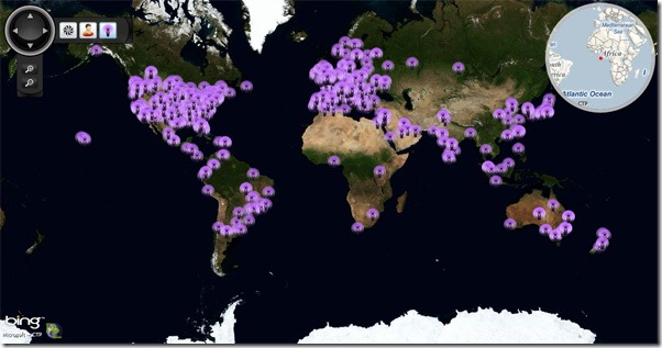
First up is a little visualisation of where we work and play. This data is hard coded into the application and took less then an hour to put together. The minimap, custom navigation and custom image pin are part of the open source DeepEarth project.
http://bingmapsupdates.cloudapp.net/
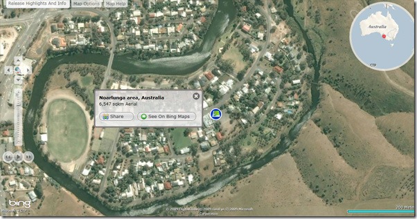
This site was built by Earthware in the UK for Microsoft. It showcases the latest imagery updates every month. Prior to this application monthly updates where only announced in text form. The application is completely custom.
http://vethematic.soulclients.com/
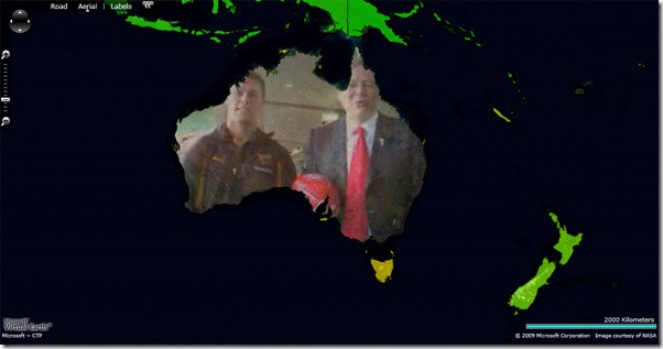
Our very first Bing Maps Silverlight demo, this visualisation shows the 2004 carbon emissions per capita world wide. Green is better then red. The country polygons are highly detailed SQL 2008 Geography data rendered as vectors. We have had to heavily reduce the complexity and batch the rendering for performance. If you hover over Australia we demonstrate using this vector as to display a video from the prime minister. The concept is quite appealing but the execution needs a little work as the mouse enter and exit event rapidly reset the video in this demo.
http://www.minus34.com/geodemo/
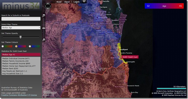
Hugh recently released this demo of Australian statistics rendered from SQL 2008. The data is cleverly loaded on demand based on the current zoom level and bounds.
http://spatialquery.soulsolutions.com.au/
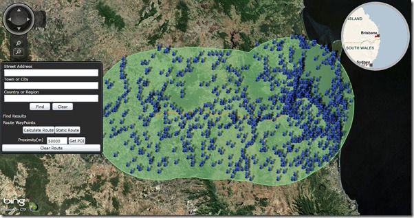
This demo was built for WardyIT to demonstrate how SQL 2008 spatial queries can be created from Bing Map data, in this case a route, and the result visualised. This demo has been updated to use the latest controls and patterns from DeepEarth. Please note: this is running on my server so I’ve limited the size of a route you can query to a few hundred KM. I may have to disable the demo or relocate it.
http://drawing.soulsolutions.com.au/
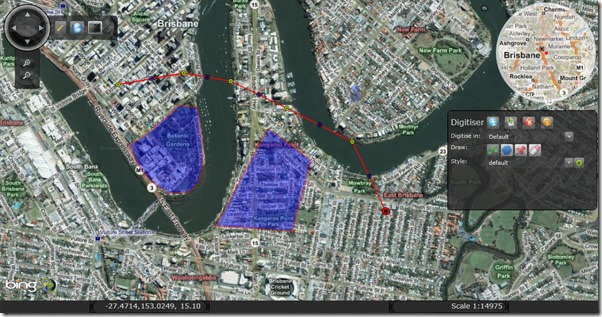
Our premier SQL 2008 demo allowing everyone to draw shapes using the DeepEarth digitizer control and save that data to SQL 2008 geography. I’ve removed the user permission logic so this demo is a free for all. Add and edit at will. I will clear out any obvious test data from time to time keeping just the best submissions.
http://multitouch.soulsolutions.com.au/
If you are lucky enough to have a Multi touch Windows7 device then try out some custom gestures we have written in Silverlight3. These include pinch zoom, map mode change and swipe to launch the digitizer. On a tablet use the stylus to draw some shapes.
http://photosynth.soulsolutions.com.au/
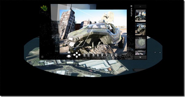
If your photosynth has been geotagged on photosynth.net then it will appear in our Mashup here. This demonstrates some ideas for how Photosynth and Bing Maps may integrate in the future using perspective 3D and both running in Silverlight3.
http://tc.soulsolutions.com.au/
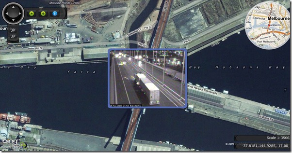
Our entry into this years Windows Azure #newcloudapp competition this prototype aggregates Traffic Web cameras from around the world and visualises them on the map surface. These web cams don’t normally show an animated history, the Azure worker process caches a set number of frames for Silverlight to render. A simple playback loop animates the map view between the cameras.
How to get started
We hope you enjoyed the session are keen to get started,
- Join the CTP today: http://connect.microsoft.com/silverlightmapcontrolctp
- Learn Silverlight: http://silverlight.net/Learn/
- Download DeepEarth tools: http://deepearth.codeplex.com/

